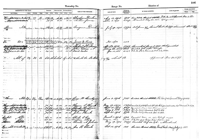
On 8 Jun 1876, George Washington Countryman applied for a 160 acre homestead in Section 30 of Township 23 South of Range 18 West of the 6th Principal Meridian in Pawnee County, Kansas (766). He paid fees of $12.50.
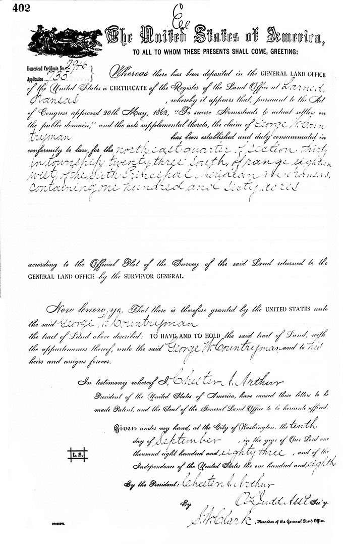
 On 10 Sep 1883, he was issued a patent for the northeast 1/4 of Section 30 in Township 23 South of Range 18 West of the 6th Principal Meridian (784).
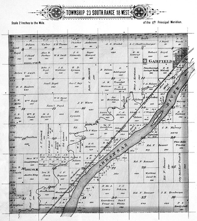
 A 1902 plat of Township 23 South of Range 18 West in Pawnee County, Kansas shows George W. Countryman as the owner of the northeast 1/4 of Section 30 (767).
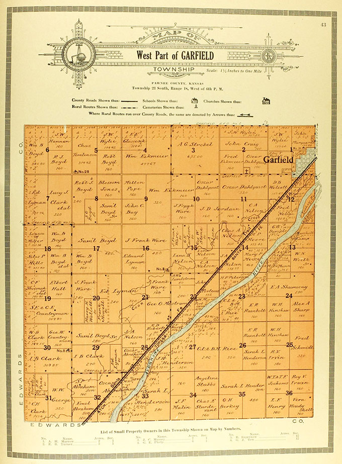
A 1916 plat of Township 23 South of Range 18 West again shows George W. Countryman as the owner of the northeast 1/4 of Section 30; however, his sons Samuel Elijah Countryman and Charles Edwin Countryman had acquired most of the south 1/2 of Section 19 (769).
Sources
766. George Washington Countryman, Application for 160 acre Homestead, Pawnee County, Kansas, 8 Jun 1876. U.S. Bureau of Land Management Tract Books, 1800–c. 1955, Kansas, Volume 100, Page 106. (Images: FamilySearch. Image on file.)
767. 1902 Plat of Township 23 South of Range 18 West of the 6th Principal Meridian. Plat Book of Pawnee County, Kansas. Northwest Publishing Co., Minniapolis, Minnesota, 1902. (Image on file.)
769. Plat of Township 23 South of Range 18 West of the 6th Prime Meridian in Pawnee County, Kansas, 1916. (Image on file.)
784. Patent Issued to George W. Countryman, Pawnee County, Kansas, 160 acres. Larned, Kansas Land Office, 10 Sep 1883. General Land Office Records, Bureau of Land Management, U.S. Department of the Interior, Washington, D.C. Document Number 2946. (Images: Bureau of Land Management. Image on file.)
Revised 2 Apr 2017


